Martha’s Vineyard bike paths
MV Bike Paths
Martha’s Vineyard bike paths, made simple
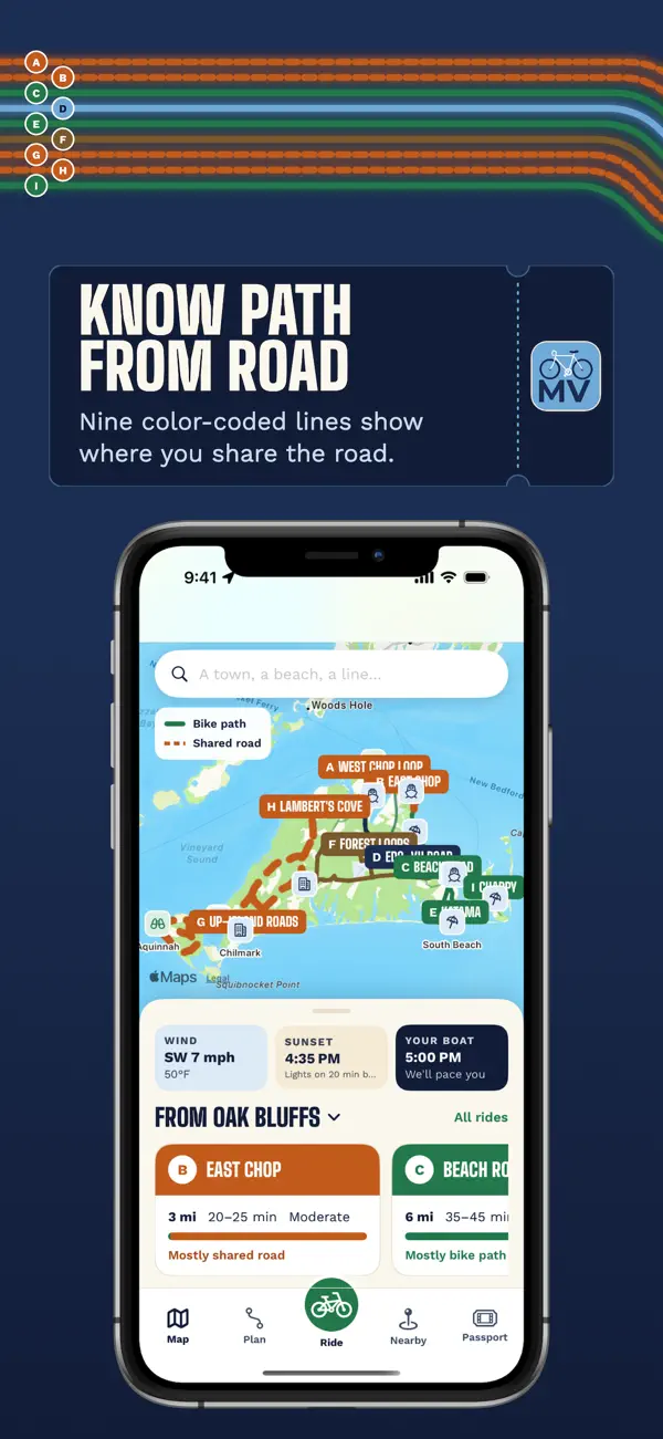
Nine color-coded lines, A through I, show where you’re on a separated bike path and where you share the road with cars. Tell it where you’re starting and how long you’ve got, then ride with voice guidance that keeps working when signal drops.
- Rides that fit your time, from a 3-mile spin to a 7-mile path
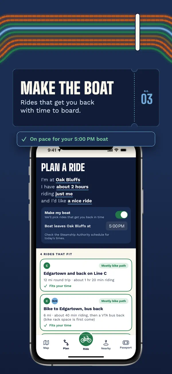
- Set your boat time and get back with time to board
- Beaches, food, restrooms and bike help along your line
MV Bike Paths: common questions
How long is the bike path from Edgartown to Vineyard Haven?
About 7 miles. MV Bike Paths shows it as one of its color-coded lines, along with shorter rides like the 3-mile spin along East Chop.
Do the bike path maps work without cell service?
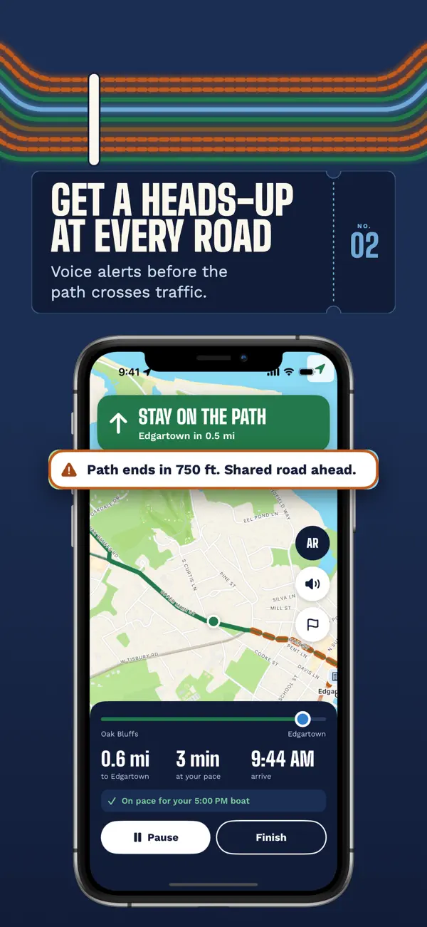
Yes. Route lines, ride guidance and voice alerts are stored on your phone, so they keep working in the State Forest or Up-Island.
Can I bike and still make the ferry?
Set your boat time from Vineyard Haven or Oak Bluffs and the app picks rides that get you back with time to board, and tells you on the ride if you’re on pace.